As part of his regular Photo of the Month series, GJEP co-founder, consultant and photographer Orin Langelle shared a photo of a forest clearcut by Dominion Energy for the Atlantic Coast Pipeline at PhotoLangelle.org.
GJEP is actively taking part in and supporting the local community efforts to stop this disastrous pipeline.
Langelle’s post includes a report on a recent tour he was given of Nelson County, Virginia, where the Atlantic Coast Pipeline will be built.
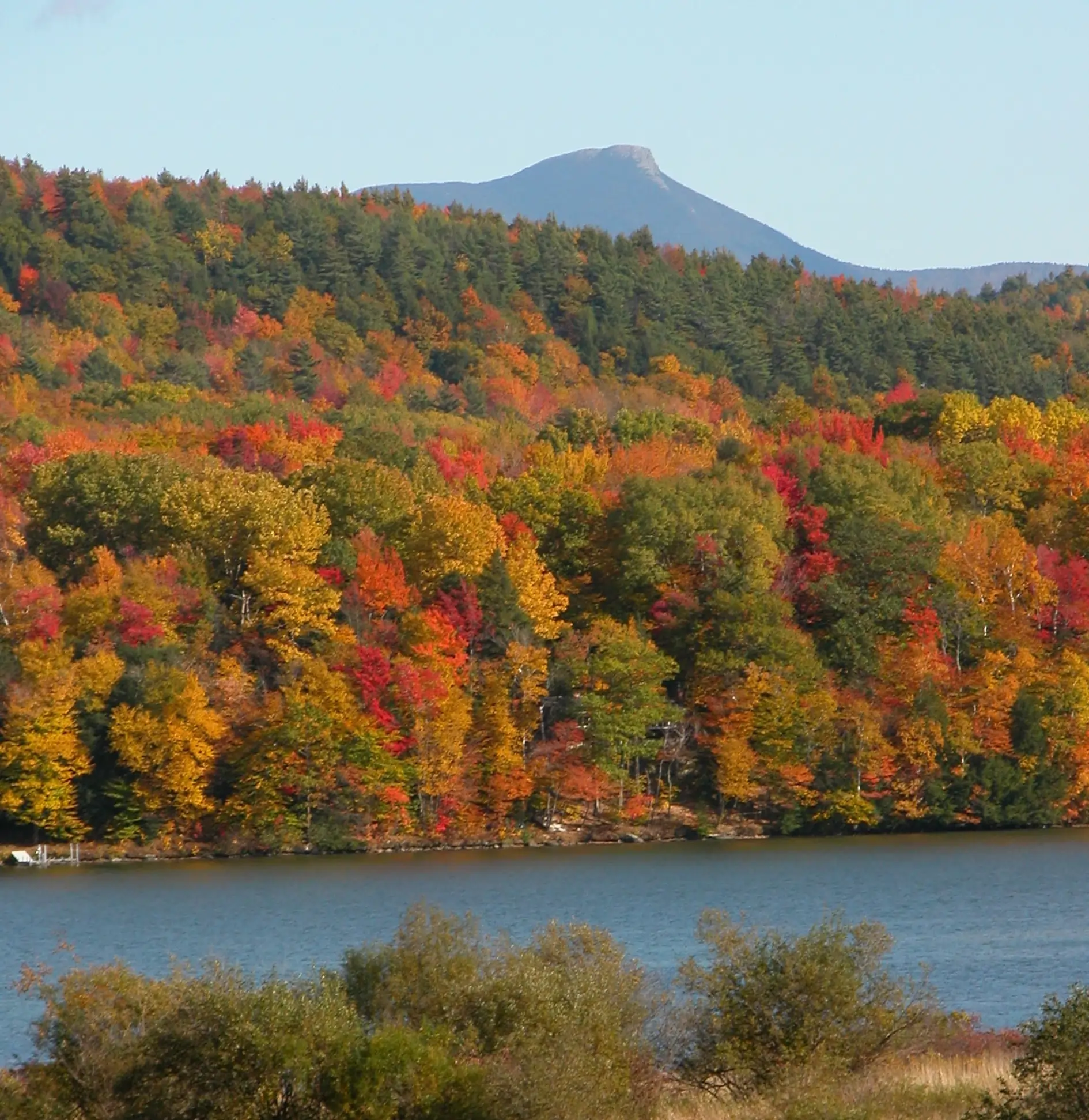
This photo was taken close to where a drill would bore beneath the Appalachian Mountain National Scenic Trail and the Blue Ridge Parkway through the mountain gap between Three Ridges Wilderness (George Washington National Forest) and Devil’s Knob (at Wintergreen Resort). The mountain consists of greenstone and granite. The bore would be over 4,200 feet long and 46 inches in diameter for a 42” pipeline that would contain fracked natural gas at a pressure of 1440 pounds per square inch.
The drill is estimated to require almost 30 million gallons of potable water. The polluted water and residue from the drilling then must be contained, transferred to tanker trucks and trucked to a waste disposal site, yet to be determined. Nelson County has declined an offer from Dominion to purchase this water and a source for it is yet to be determined
Although the ACP has not yet received final approval, Dominion Energy is clearing some corridors of forest where they have purchased easements through the threat of eminent domain. This clearcutting is considered a “preconstruction activity” by the Federal Energy Regulatory Commission (FERC).
See the full post at PhotoLangelle.org.
RELATED: Atlantic Coast Pipeline Project Threatens Thousands of Acres, Waterbodies and National Forests